The Sovereign Platform
Ingest, serve, and visualize geospatial data in a sovereign deployment, with an AI agent wired in. Running live vertical operations today.
Live nowExplore Phase I
SOVEREIGN GEOSPATIAL INTELLIGENCE
Cartos is Cartos, a vertical-AI geospatial platform. It runs live operations on data you own, reasons about change and builds in 3D, and reaches the ground through a sovereign mobile field edge — one platform, top-down and bottom-up.
NexGen Geospatial · Phase I live · Phase II in build · Phase III shipping — Field v1.0 in tester distribution
The arc
Each phase stands on its own and compounds the last — a sovereign substrate, an analyst that reasons, and a field workforce that feeds it ground truth.
Ingest, serve, and visualize geospatial data in a sovereign deployment, with an AI agent wired in. Running live vertical operations today.
Live nowChange detection, derived data, 3D reconstruction, and auditable reporting — the substrate starts producing intelligence, not just showing it.
In developmentA configurable, offline-first mobile field platform — the sovereign ground-truth edge that feeds the whole loop and multiplies seats. v1.0 is built: a no-code field-app builder, offline capture & sync, and captures that surface back inside every module.
Shipping — v1.0 in tester distributionCartos is shared public infrastructure — one sovereign platform that many agencies, industries, and levels of government run together, with an agent reasoning across all of it. The aim is bigger than software: geospatial equity, social justice, environmental resilience, and government transparency, pointed at real-world problems.
Sovereign, shared, affordable, and agentic — the right system for African nations and agencies to stand up foundational capability where the need is greatest.
One base map served to national, state / emirate, county and municipal tiers — the UAE Base Map is one example of the pattern, not the point.
Shared systems, agentic AI over everything, and a field-to-dashboard loop that makes it accountable.
Read the full visionOne engine, many editions
Cartos is the common engine; industries run over it as purpose-built, licensed editions — each a switchable catalogue of department modules over the same sovereign substrate. All nine are live on their own sovereign subdomain, including the continental Cartos Africa, the proactive/reactive Guardian + Sentry pair, and Cartos Harvest for agriculture. Sixty-seven individual department modules in total, counted from the engine's own registry.
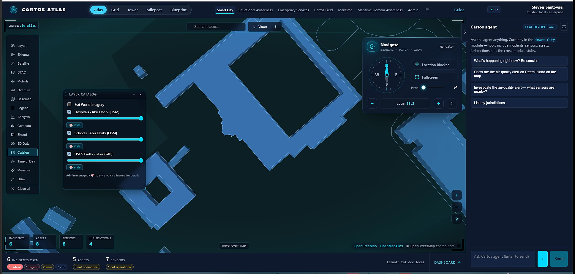
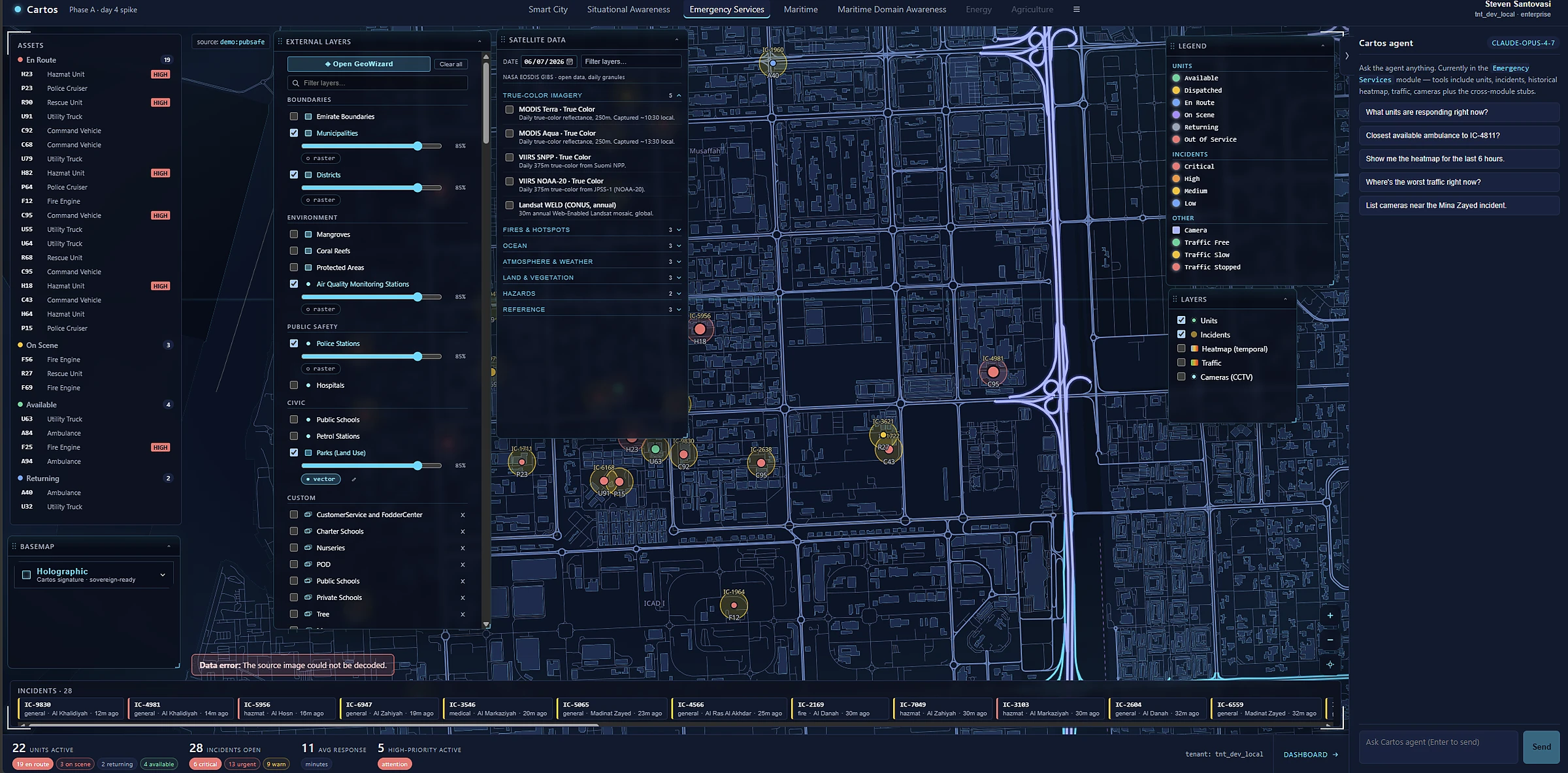
Smart City, Maritime, Emergency & a 3D common operating picture — cities, coasts & crisis on one screen.
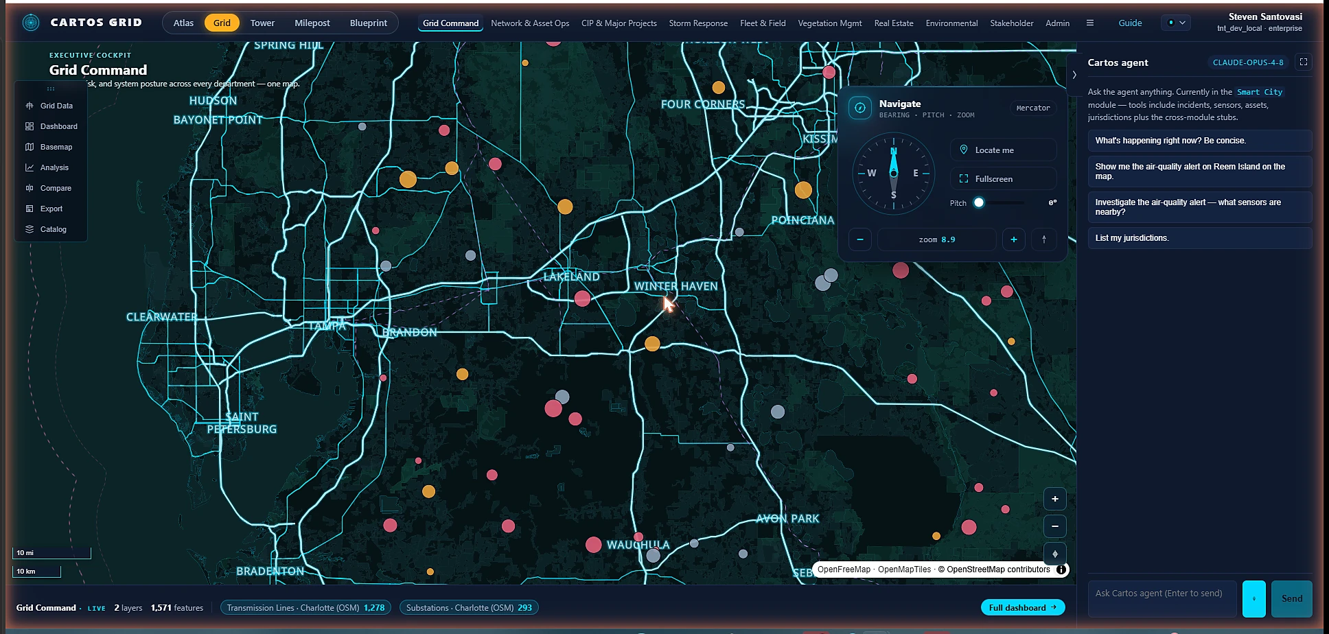
Nine departments over one operating picture, wired to the utility's systems of record.
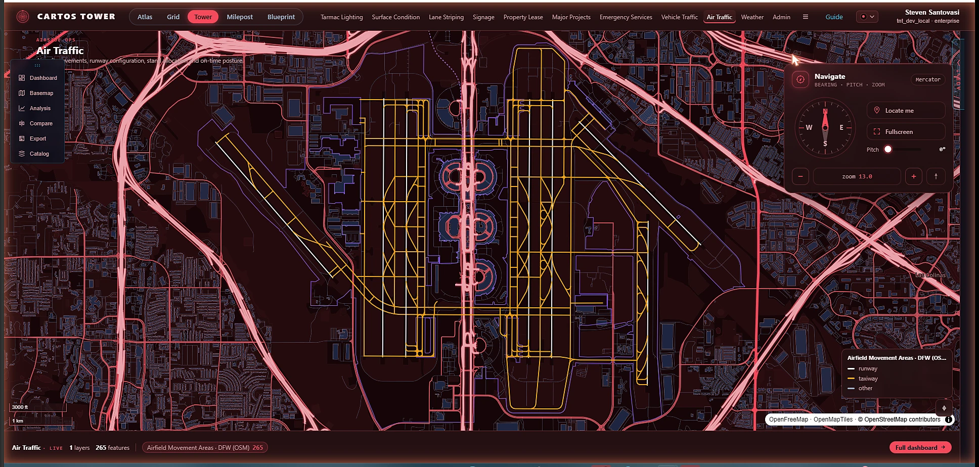
Ten airfield departments — airside to landside, from tarmac lighting to air traffic.
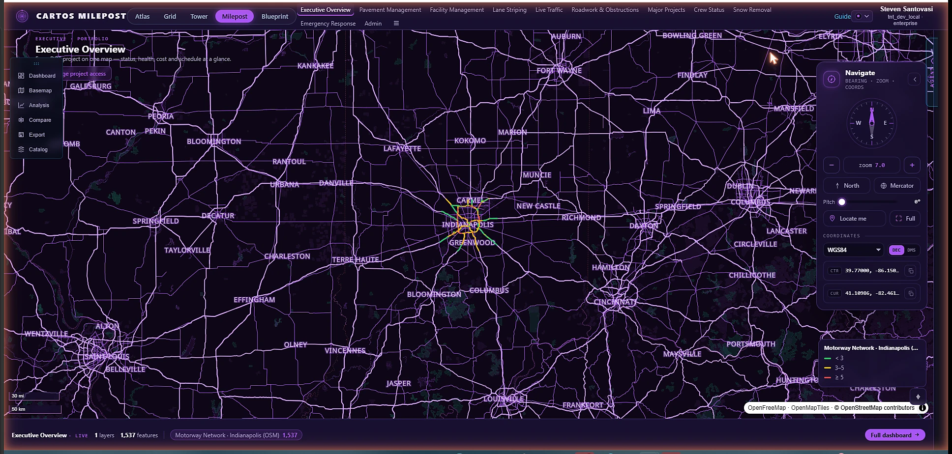
An executive portfolio of every DOT project, then drill to pavement, traffic & winter ops.
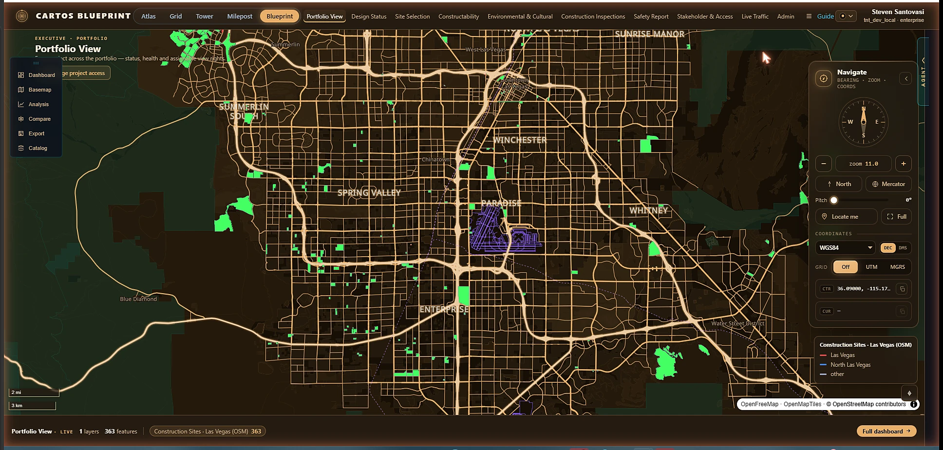
A portfolio view across every project, then design, inspections, safety & approvals.
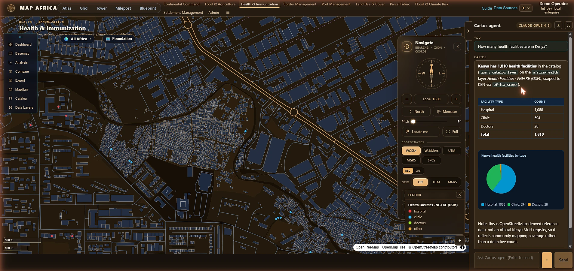
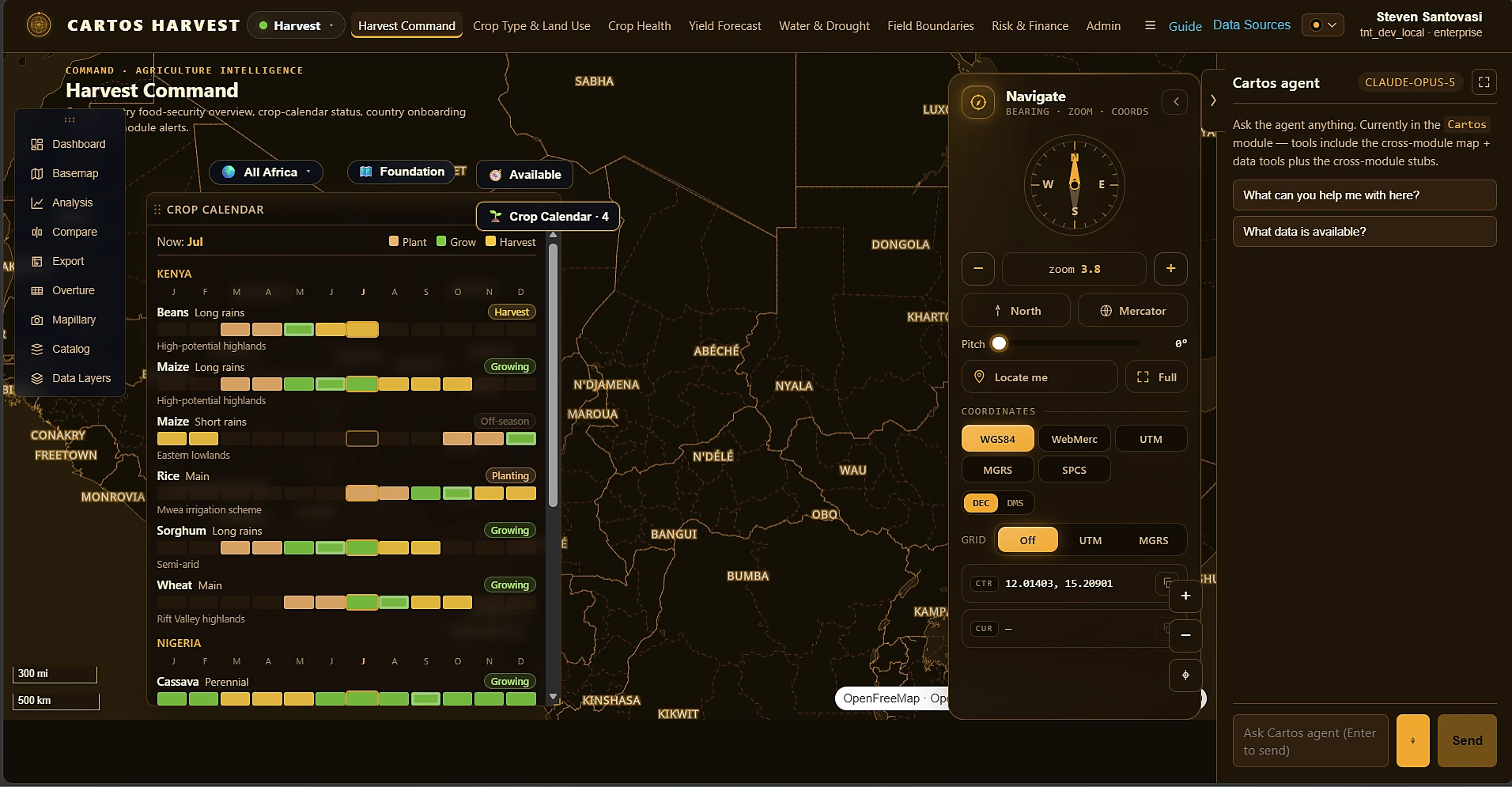
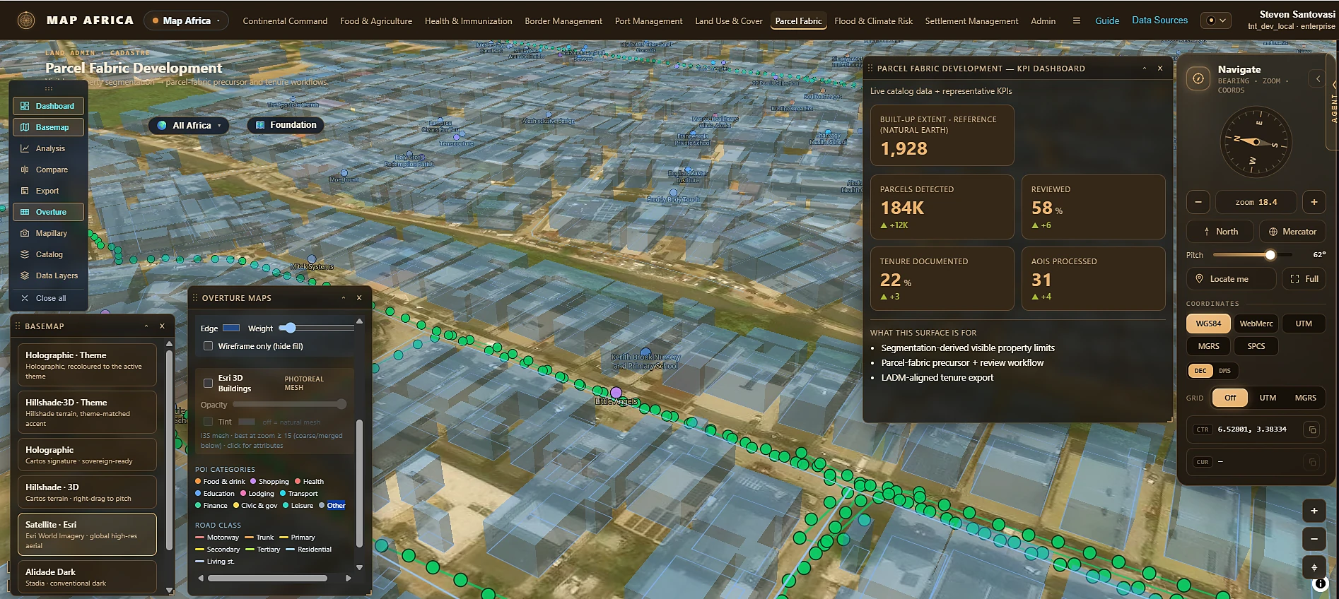
Continental Command plus eight departments over an open continental base-map substrate — food security, health, borders, ports, land use, parcels, flood risk & settlements. Enter One Africa →
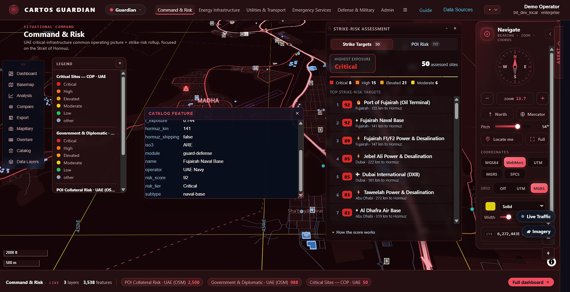
UAE critical-infrastructure protection with a transparent per-site strike-risk model, Strait of Hormuz focus. Enter Guardian →
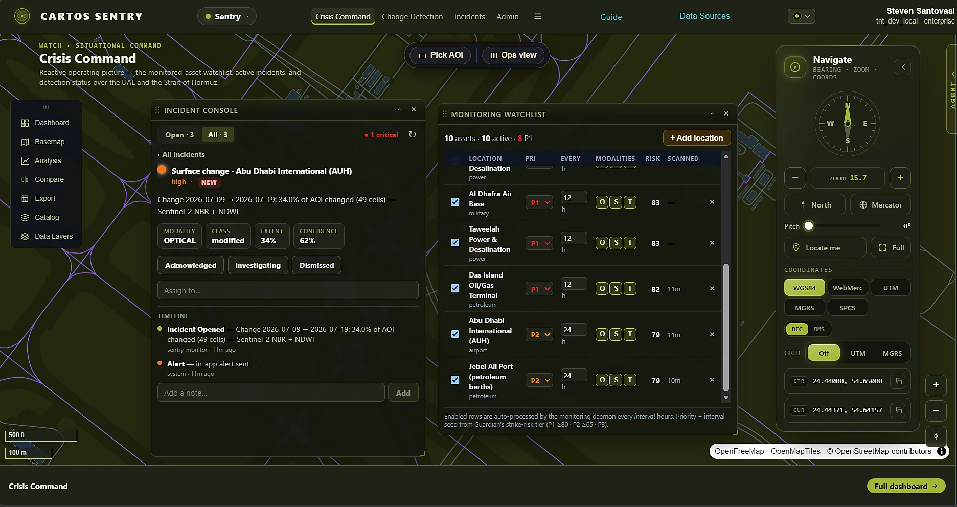
Reactive optical/SAR/thermal change detection, watching Guardian's highest-risk assets — incidents, alerts & commercial tasking. Enter Sentry →
Dozens of department modules, real operational data, and KPI dashboards on one substrate — plus Cartos Harvest, the agriculture-intelligence ninth edition, now live.
Explore the editionsThe market makes you pick one — a general GIS suite you must staff, a point solution that dead-ends, or a bespoke build that never improves. Cartos holds all four at once, because the hard parts were built into the engine before any solution was built on top of it. That's why four new editions shipped in six weeks, each reusing the last.
One AI analyst reasons across every datasource the asking user can see — and says so when the data can't support the answer. Same agent in every edition.
Esri Utility Network & ArcGIS feature services, OMS/ADMS, Maximo, SAP PM, Oracle P6, Microsoft Project, WMS/WMTS, STAC, Overture, client-hosted PostGIS — plus commercial satellite tasking.
Scores decompose into their components, confidence is earned by independent modalities agreeing, licence posture is enforced in code, and tasking cost is on screen before you commit.
A vertical is a curated module catalogue on the same engine, so every improvement lands in all nine editions at once.
Read the full approachAt a glance
Runs in-territory, on infrastructure you control. Sovereignty is the default, not an option.
Backed by an owned constellation — a data position competitors can't simply license into.
One AI analyst reasons across every accessible datasource — ask the map — and every output traces back to how it was produced.
The same engine powers nine live, purpose-built industry editions — government, electric utility, airport, transportation, infrastructure delivery, the continental Cartos Africa, and the proactive/reactive Guardian + Sentry pair — each a switchable catalogue of department modules.
Seven systems-of-record connectors (Esri Utility Network, OMS/ADMS, Maximo, SAP PM, Oracle P6, Microsoft Project, file/CSV), nine geospatial datasource types (ArcGIS REST, WMS, WMTS, XYZ, GeoJSON, PMTiles, COG, FlatGeobuf, client-hosted PostGIS), STAC, Overture and NASA GIBS. The full list →
An admin-managed layer catalogue seeds real operational data into every module, with a full symbology engine and a configurable KPI dashboard per surface.
A sovereign, offline-first mobile field edge captures ground truth that surfaces back inside every module and feeds the agent.
See it
Satellite, 3D, live operations, and an AI analyst on one screen — in the browser, in your own deployment. No GIS experience required.
Commercial model
Five pricing pillars meet customers where they are, from a free first look to a sovereign, cost-plus deployment.
A try-it surface that shows the whole loop on a sample area.
Per-run consumption for compute-heavy analysis, 3D, and capture.
Switch capabilities on per account — buy what you need.
Recurring monitoring, field seats, and a retained intelligence graph.
Sovereign and bespoke deployments, priced on delivered cost.
Design partner program
We're selecting a small number of design partners with a real, recurring geospatial need and sovereignty as a genuine constraint. Early access, roadmap influence, and auditable deliverables for your stakeholders. Engagements run under NDA.